


MABR app for iPhone and iPad
Developer: Vancouver Island University
First release : 21 Mar 2017
App size: 39.54 Mb
The Mount Arrowsmith Biosphere Region: Collaborative Environmental Monitoring Application is an easy-to- use app that generates awareness around environmental and social issues as well as showcases the environmental and cultural values of the Mount Arrowsmith Biosphere Region (MABR) and surrounding area.
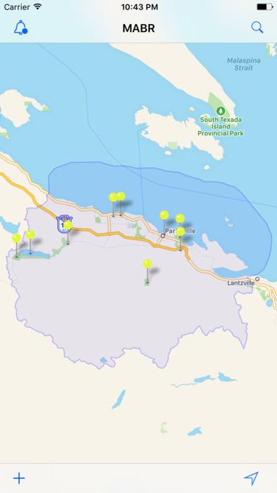
This interactive app is designed to allow users the chance to become citizen scientists in their own backyard. With their handheld devices, users can upload information and images regarding environmental and social features or issues that they come across while exploring the Mount Arrowsmith Biosphere Region. Whether it is a feature of interest (e.g. an indigenous plant of cultural significance or a species at risk) or a potential issue (e.g. an impassible fish barrier or (illegal dumping), users can help collect invaluable environmental data in the area. Using GPS technology, information is uploaded to the map-based app so that residents and tourists can find out about interesting features or environmental concerns located near them.
The information gathered will be used by the local community to identify issues or features that are worthy of inclusion on the community map, as well as reveal incident patterns that will allow for facilitated community discussions to help resolve these community-identified issues.
Become a citizen scientist and help increase environmental sustainability and awareness within the Mount Arrowsmith Biosphere Region.
This app was created through a partnership between Vancouver Island University’s (VIU) Mount Arrowsmith Biosphere Region Research Institute (MABRRI) and the Mount Arrowsmith Biosphere Region (MABR) and funded by the Commission for Environmental Cooperation’s North American Partnership for Environmental Community Action.